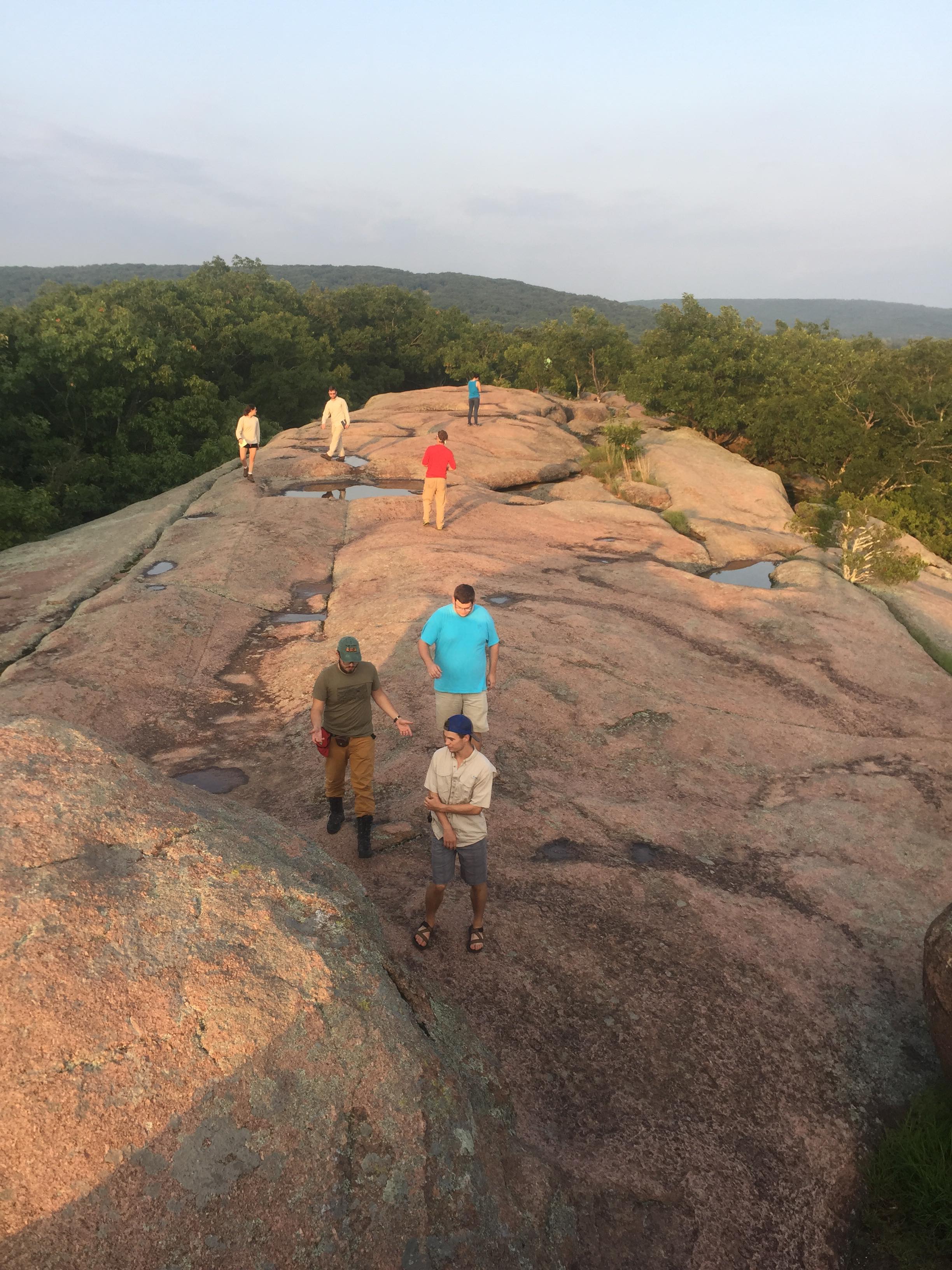
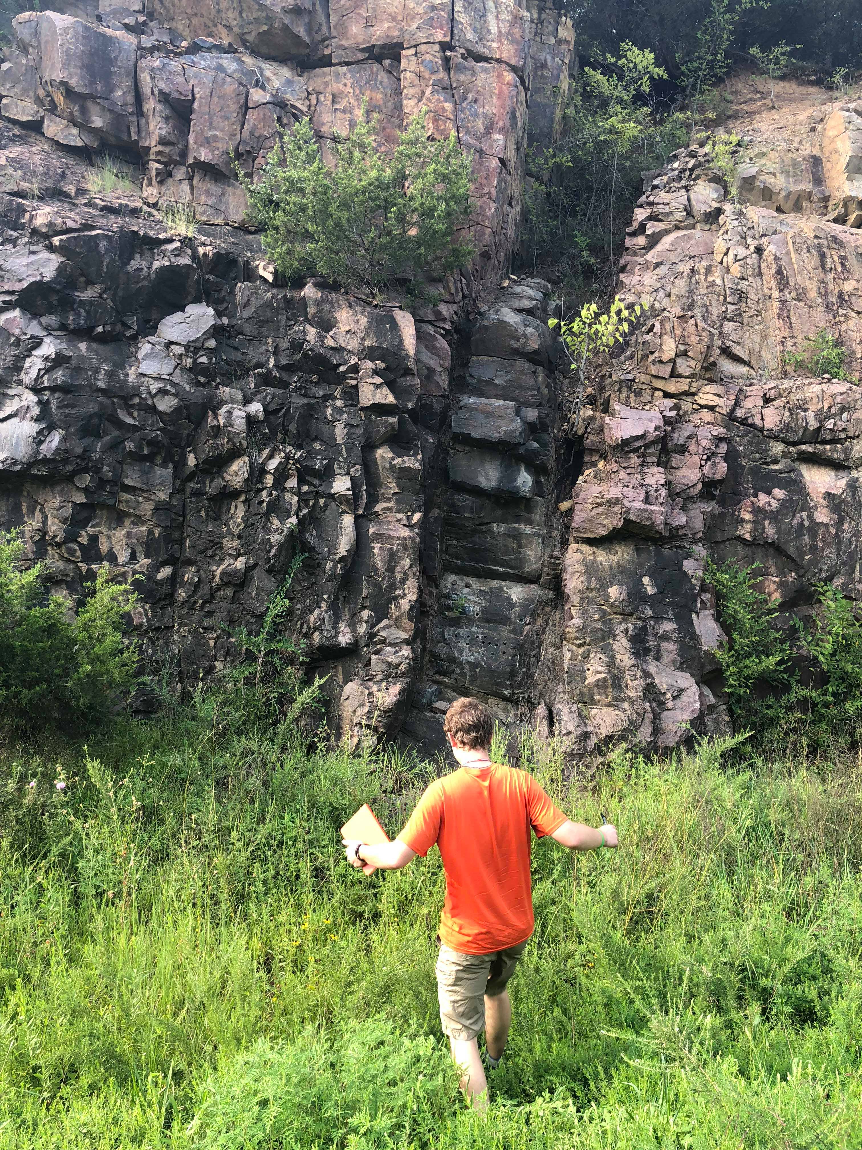
The trip: organized by GeoClub officers Ashlyn Spector, Nikita Kepezhinskas, and Graduate student Anthony Pivarunus, exposed sophomore and junior undergraduate students to excellent examples of igneous and sedimentary geologic structures in the St. Francois Mountains of Missouri and the highlands of Arkansas.
St. Francois Mountains
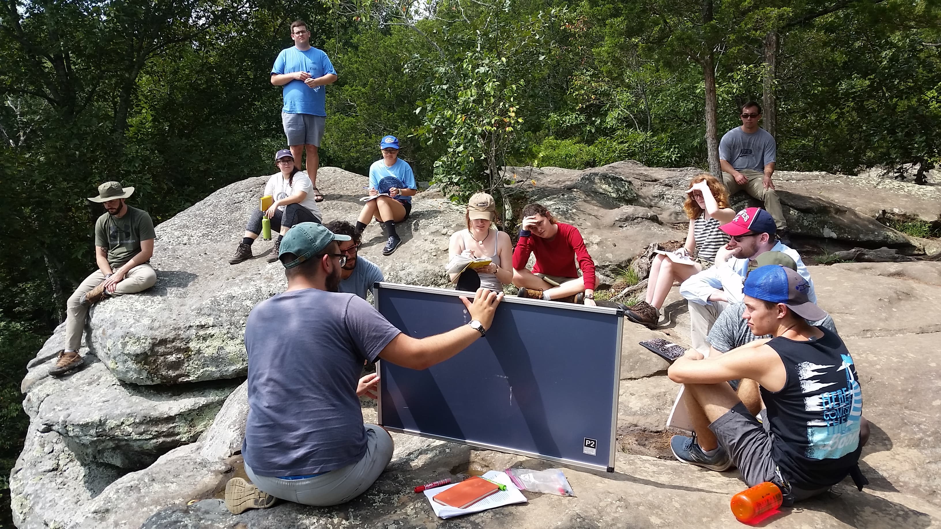
Over the course of three days, students practiced rock and outcrop identification and descriptions, as well as a mock mapping assignment in local roadcuts, outcrops, and quarries. Students were split into groups of two or three (upper-level student with a lower division student) and introduced to the area’s extrusive and intrusive features.
Students were familiarized with the geography of the area, frequently identifying major rivers, hillocks, ridges, and other defining topographic features. Students were stressed the importance of systematic note taking-comments on notes were compiled each night during the trip by Anthony Pivarunus and Nikita Kepezhinskas.
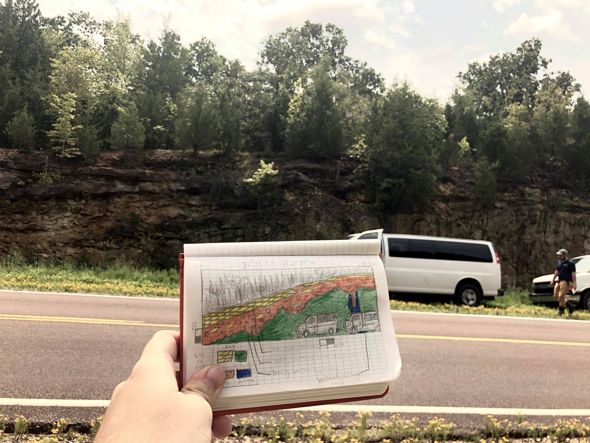
The last full day in the St. Francois Mountains was spent on two large-scale activities. The first being a roadcut exposing ignimbrite, a micro gabbro dike, and Paleozoic strata was given as practice in rock identification, outcrop sketching, and geologic history construction. The second activity involved rudimentary mapping introduced at Johnson Shut In’s State Park. Students practiced mapping the contacts of three rock units (rhyolite, siltstone, rhyolite) in a defined area, along with providing relative thickness and simplified rock descriptions on a final map.
Arkansas Highlands
After our time in the St. Francois Mountains, students were given a brief overview of Arkansas geology with stops at Buffalo National River (Ozark Plateau), Mt. Nebo State Park (Arkansas River Valley), Hot Springs National Park (Ouachita Orogeny), and Crater of Diamonds National Park (Ouachita – Coastal Plain transition).
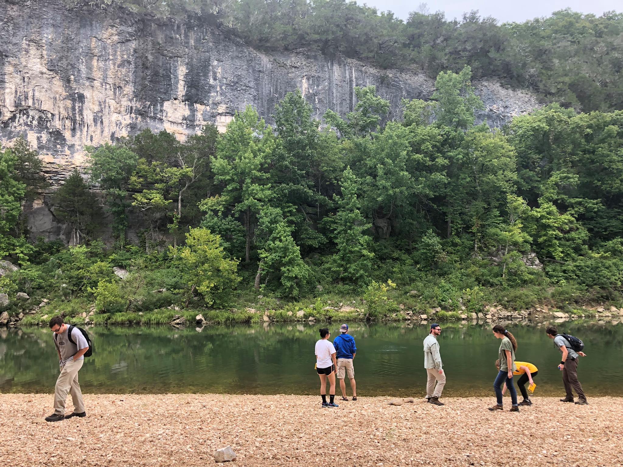
At Buffalo National River, students completed basic outcrop sketches and rock identification. A small hike lead the group to an overlook exemplifying the interaction between imbedded rivers and uplifting plateaus.
At Mt. Nebo State Park, students were introduced to the concepts of hogbacks, razorbacks, cuestas, and mesas and how each morphologic feature expresses larger scale geologic structure. At a scenic overlook over the Arkansas river valley, students were given an exercise to identify the underlying geologic structure of the river valley using the exposed topographic expression.
At Hot Springs National Park, students took a tour of the historic bath houses in the park. A geologic map in the museum provided an excellent opportunity to explain the complex fold and thrust structure of the Ouachita Mountains and its relation to the park. Students were able to view one such active hot spring and taste the water from the park.
At Crater of Diamonds National Park, several students were introduced to lamproites. A review of kimberlitic and lamproitic pipes and geology was administered. Several excellent outcrops of lamproitic magma, breccia tuff, and ash tuff gave excellent context to explaining maar eruptions.
